Autumn on Pause: Met Éireann says high pressure will bring milder weather by Sunday
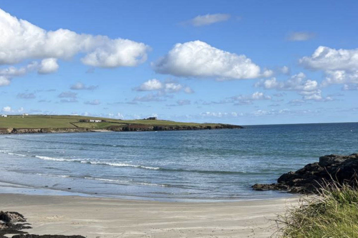
We may still get our Indian summer.
While there is some uncertainty, Met Éireann forecaster say there is a signal for high pressure to return by the end of the weekend and into the start of the next week. Temperatures will recover too, becoming a little milder than of late.
In the meantime, it’s shaping up to be a fairly pleasant day today, Wednesday, with mostly dry conditions and some hazy sunshine peeking through the clouds. By the afternoon, things will turn a little greyer as cloudier skies roll in, but temperatures will still reach a comfortable 13 to 15 degrees in gentle southerly breezes.
As we head into tonight, expect more cloud cover in places with some patchy light rain and drizzle here and there. Temperatures will dip back to between 5 and 10 degrees, with the chance of mist and fog patches forming overnight, so take care if you’re out late or up early.
Looking ahead to tomorrow, Thursday, we’ll start off mostly dry and clear, though the coasts could see some patchy drizzle.
By early afternoon, brighter sunny spells will break through for many of us. Temperatures will feel a touch milder, hitting 14 to 16 degrees, with light to moderate southeast winds—though if you’re by the coast, it’ll feel a little fresher.
What about the weekend?
And if you’re wondering about the bigger picture, we’ve got a mix of calm and unsettled weather ahead. Friday brings some heavier rain for western areas, while Saturday looks drier with some sunshine, though showers will pop up later in the north and northwest.
By Sunday, conditions settle again with temperatures nudging up to 15 to 17 degrees, and high pressure could bring a more settled start to next week.