Storm Éowyn ‘could be the worst we’ve seen in years’, according to weather experts
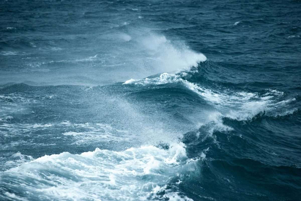
Tie down the trampoline.
Storm Éowyn (it’s pronounced (AY-OH-WIN) is forecast to track across Ireland on Thursday night and Friday, bringing very strong to gale force winds with the potential for damaging wind gusts and disruption in places.
“Transitory falls of sleet and snow are expected too, especially across west and northwest counties. High seas and spells of heavy rain are expected also.” said a Met Éireann forecaster.
“Met Éireann is continuously monitoring the evolving situation and weather warnings will be issued as confidence in the forecast track/intensity of the low-pressure system improves.”
‘Concerning’
Alan O’Reilly from Carlow Weather warned his social media followers that his high resolution weather models show that “it’s not a good picture”.
“People who follow me for years know I don’t like to be over the top, but this is the most significant storm we have seen in years.”
O’Reilly says we’re in for damaging gusts of 140m/ph across the country with red level winds expected by 9am on Friday morning.
The overnight charts for #StormÉowyn are concerning as the high resolution models show damaging gusts across the country and this could be the worst storm we have seen in years. More later. pic.twitter.com/9MLNrZxcjT
— Carlow Weather (@CarlowWeather) January 22, 2025
Further weather alerts are expected to be issued today.